Showing all 13 results
-
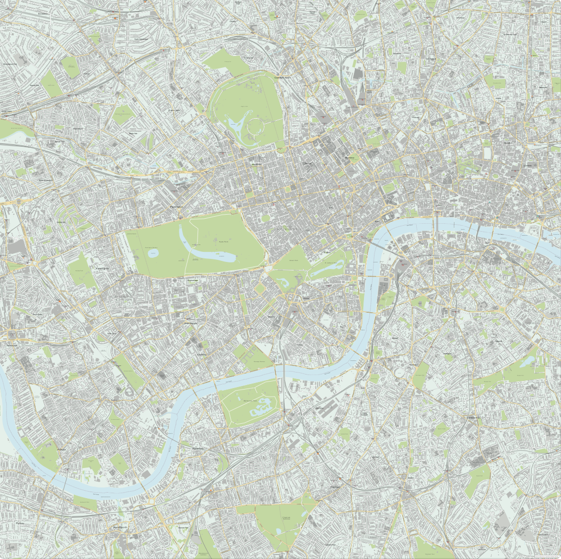
Central London detailed street map
£75.00Our most detailed map of central London, including buildings and street names across a large area
PDFsSVGLayered AI file -
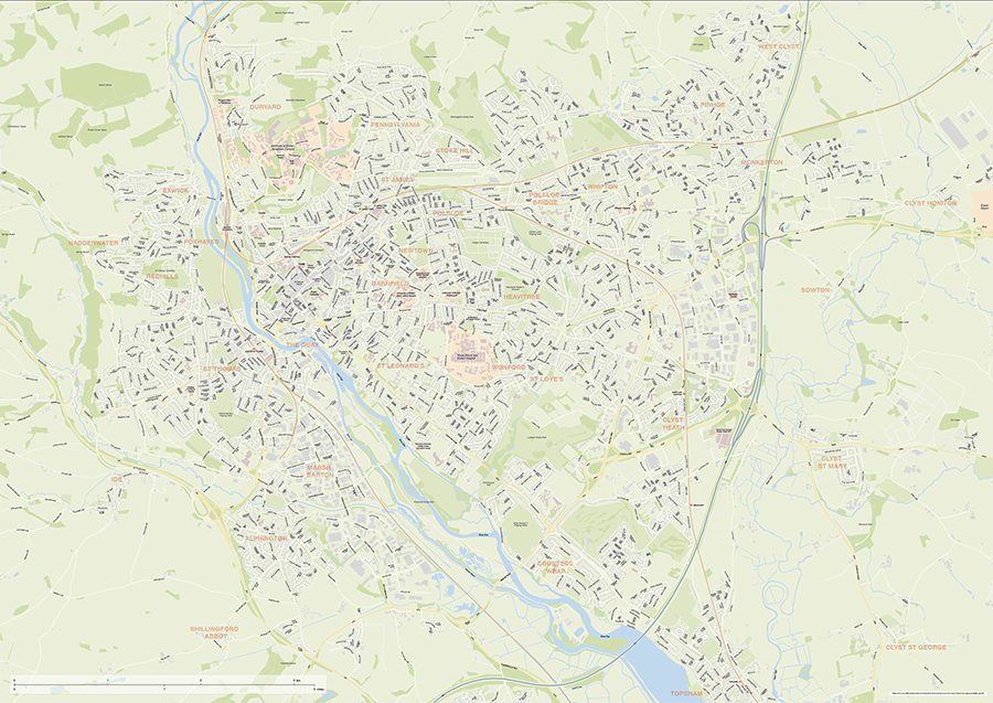
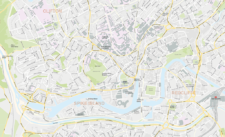
Exeter Street Maps
£60.00Editable street maps of Exeter and of Exeter and its environs (including Topsham, Exmouth and Dawlish). Supplied as flattened PDFs for immediate printing, and fully layered Illustrator, PDF and SVG formats. The map bases include a wealth of detail, including the full road network, railway lines, canals and rivers, parks and building shapes.
PDFsSVGLayered AI file -
Birmingham Street Maps
£60.00Editable street maps of Birmingham city centre and environs reaching out to West Bromwich and Solihull. Supplied as PDF examples and fully layered Illustrator and SVG formats. The map bases include a wealth of detail including roads, railway and tram lines, canals, parks and building shapes.
PDFsSVGLayered AI file -
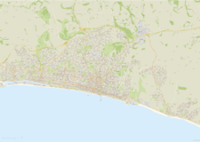
Brighton and Hove Street Map
£60.00Highly detailed layered vector artwork street map of Brighton and Hove. Includes all local roads and building shapes, with all elements fully editable in Adobe Illustrator.
PDFsSVGLayered AI file -
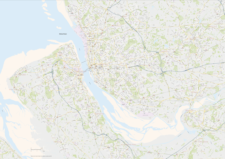
Bristol Street Maps
£60.00These editable street maps of Bristol and environs are for professional and commercial uses. All of Bristol’s roads, buildings, rivers, parks and transport hubs are plotted in detail. The wealth of detail extends out to Avonmouth and Bristol Airport.
PDFsSVGLayered AI file -
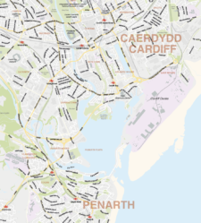
Cardiff Street Maps
£60.00Street maps of Cardiff city centre and environs reaching out to Cardiff Airport and northern suburbs
PDFsSVGLayered AI file -
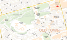
Edinburgh Street Maps
£60.00Street maps of Edinburgh and its environs including Edinburgh Airport, Leith, Queensferry and Musselburgh, with a huge amount of detail including the full road network and building shapes.
PDFsSVGLayered AI file -

Glasgow Street Maps
£60.00Street maps of Glasgow city centre and environs reaching out to Glasgow Airport, Clydebank, Bearsden, Bishopbriggs, Lenzie, Rutherglen, Barrhead and Paisley. Subway stations are included.
PDFsSVGLayered AI file -

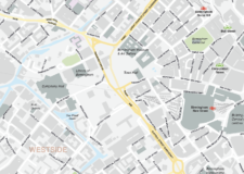
Best maps of central London postcode districts – W1, WC, EC – including street names
£25.00See the road names and other street level details of London’s densely packed W1, WC and EC postcode districts overlaid with clear labels, district boundaries and underlying polygons for colour editing.
PDFSVGLayered AI file -
Liverpool Street Maps
£60.00Street maps of Liverpool city centre and environs taking in the whole Wirral Peninsula, Ellesmere Port, Liverpool Airport, Runcorn, Frodsham, Widnes, St Helens, Haydock, Kirkby, Bootle and Crosby
PDFsSVGLayered AI file -

Manchester Street Maps
£60.00Editable street map of the city of Manchester, perfect for graphic designers using Illustrator. Includes neighbouring Salford and environs, all roads, railway and tram lines, building shapes.
PDFsSVGLayered AI file -
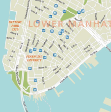
Maps of New York and environs
£75.00Multi-use editable maps of New York and environs, with districts, detailed roads, green areas and stations.
PDFsSVGLayered AI file -

Oxford Street Maps
£60.00Street maps of Oxford city centre and environs reaching out to Headington, Cowley, Cumnor, Kidlington and Oxford Airport
PDFsSVGLayered AI file