Manchester Street Maps
Downloadable royalty free vector artwork High-resolution PDFsSVGLayered Adobe Illustrator filePrice £60.00
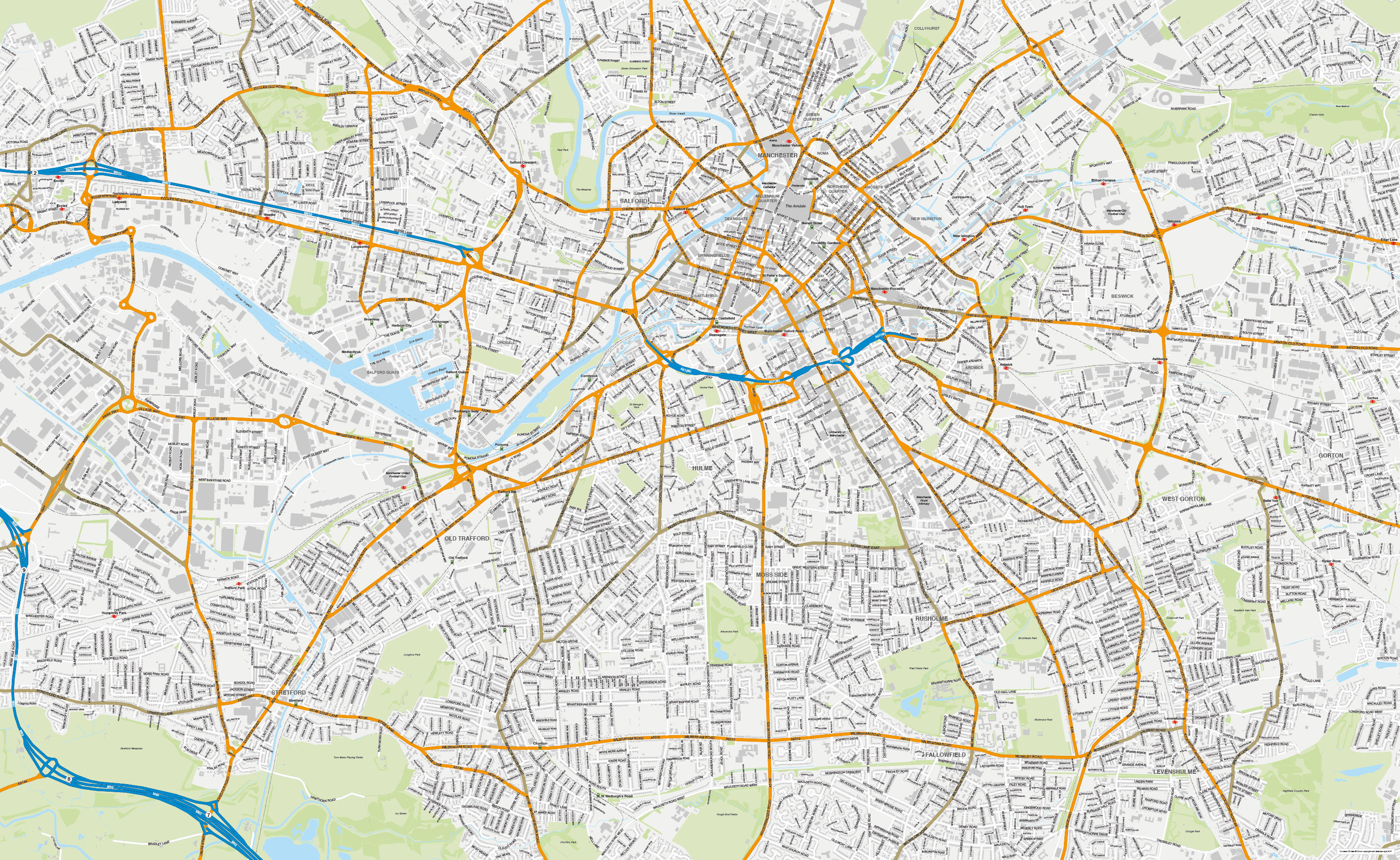
Zoom preview showing full area of coverage (low-resolution)
Pan to zoom / click or tap to switch
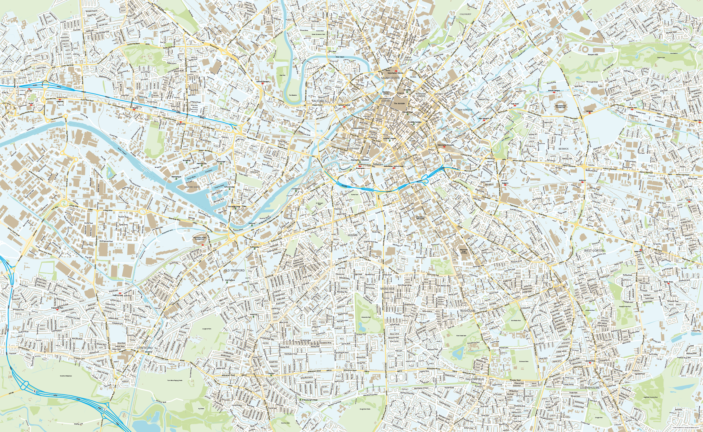
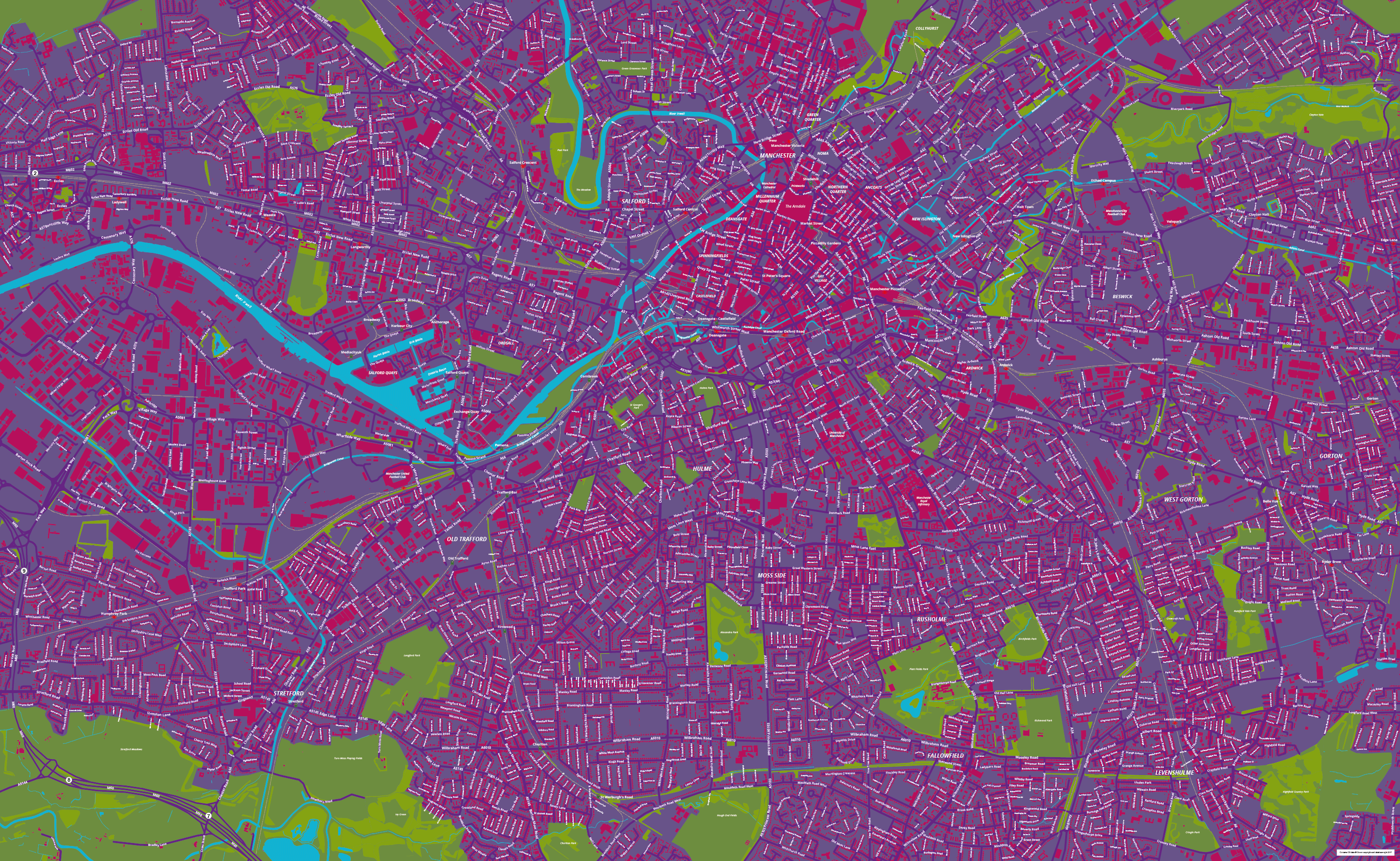
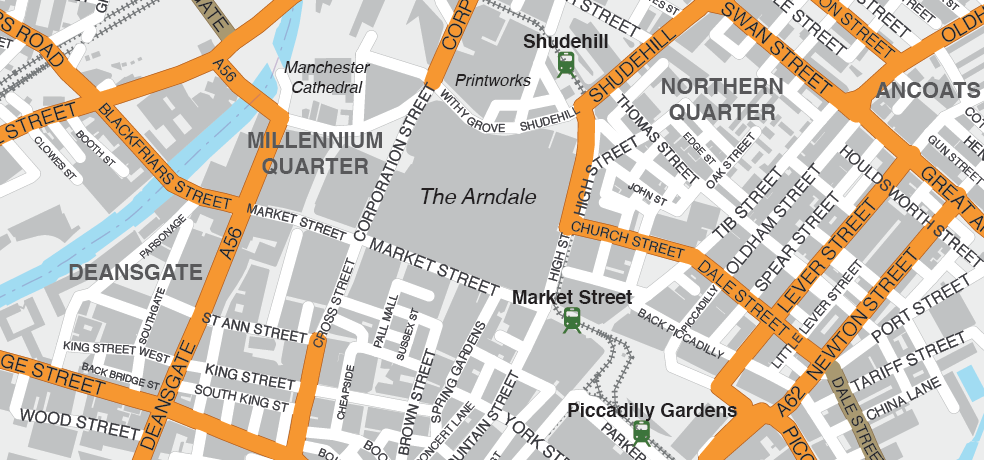
Examples of styling in the zoom previews are included as ready to use high-resolution PDF files in the download package. You can edit all colours, fonts and other elements using Adobe Illustrator or other SVG editing software.
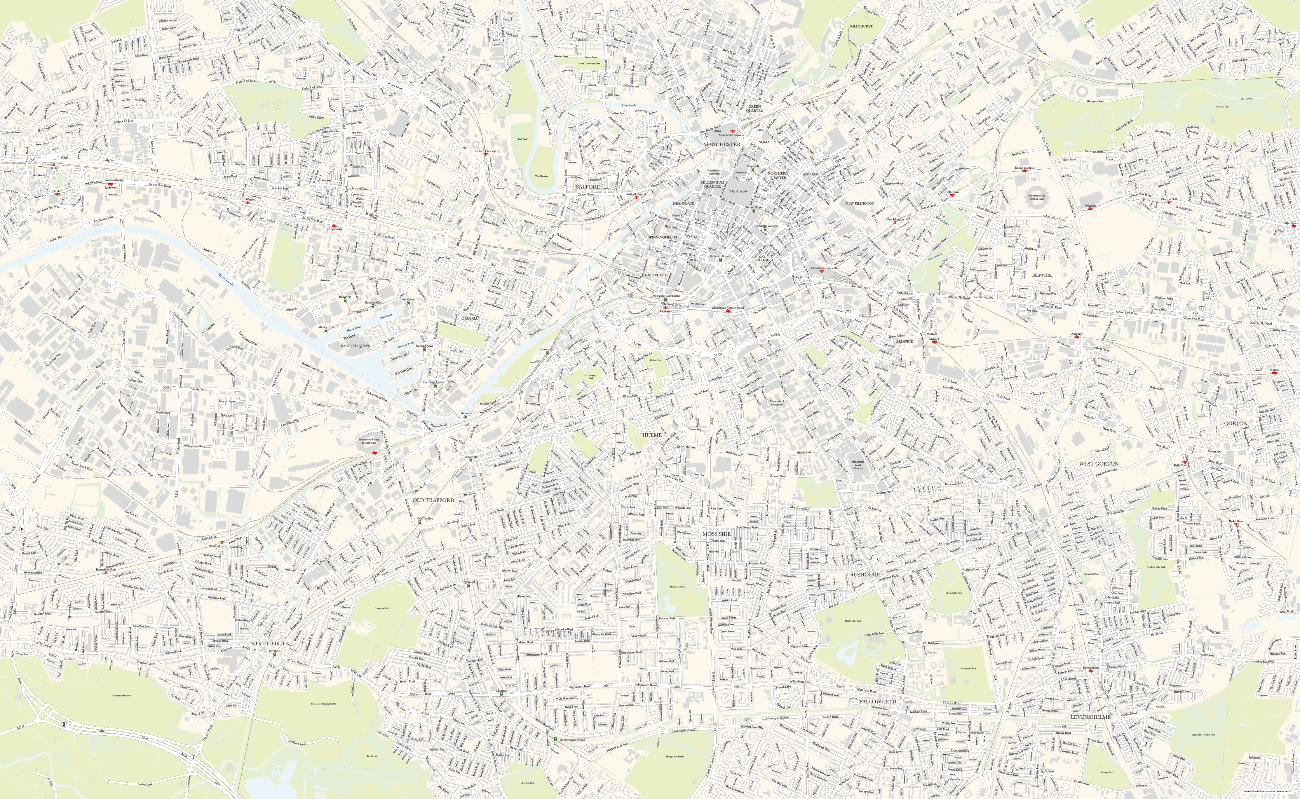
Our street map of Manchester is perfect for graphic designers and other professionals who need a detailed editable vector artwork base map of the city of Manchester. Neighbouring Salford and environs are included, giving the flexibility to zoom in and out of different areas. The area of coverage extends north to Collyhurst, east to Gorton, south to Stretford and west to Eccles.
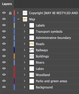
Roads, buildings, rivers, lakes, parks and transport hubs are plotted in detail, ordered into easily edited layers in Adobe Illustrator. Files included in the Manchester street map download bundle include layered Illustrator CC and Illustrator CS versions, SVG and EPS. There are also four styling examples as high-resolution PDFs and JPEGs, as seen in the previews on this page.
Please note, the zoom previews on this web page are limited by the maximum size possible for web preview, but the files included in the download package are fully zoomable and suitable for high-res output. The Illustrator PDFs can be used as they are, or form a starting point for your own customised version.

Use Adobe Illustrator for the easiest rapid editing of colours and fonts, and for plotting your own locations. With just a few clicks you can change colours and stroke widths for elements such as motorways, A roads, B roads and minor roads. In Illustrator you can also turn off entire layers with a single click, if, for example, you don’t want the building shapes to show.
An SVG file format included in the download package will provide the code needed by developers for advanced programming, and can also be opened in some other vector graphics programs such as Inkscape, although without the layer ordering. Professional cartographers using Avenza MaPublisher software have all the attributes intact for advanced cartography including the ability to change projection.
Specifications
Licensing terms
This editable map base is suitable for commercial and professional uses
See standard royalty free terms for downloadable maps
How to edit
Adobe Illustrator, CorelDRAW, PDF editors etc
See how to edit the downloadable maps
Recommended scaling
PDF, poster, tiled or zoomed areas
For more guidance see scaling recommendations
Vector map layers in Illustrator