Maps of Jersey
Downloadable royalty free vector artwork High-resolution PDFsSVGLayered Adobe Illustrator filePrice £30.00
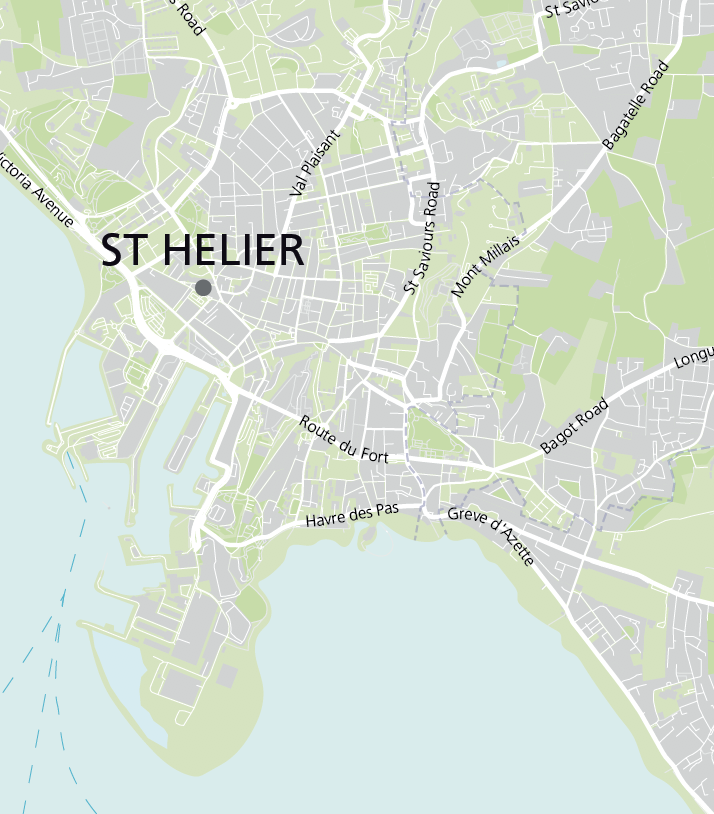
Zoom preview showing full area of coverage (low-resolution)
Pan to zoom / click or tap to switch
Examples of styling in the zoom previews are included as ready to use high-resolution PDF files in the download package. You can edit all colours, fonts and other elements using Adobe Illustrator or other SVG editing software.
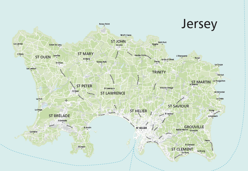
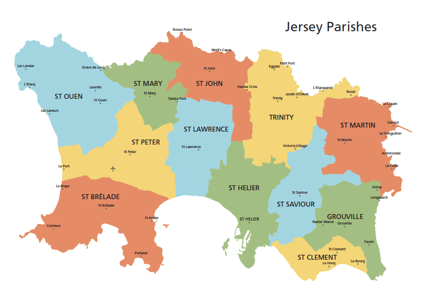
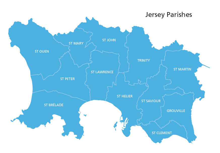
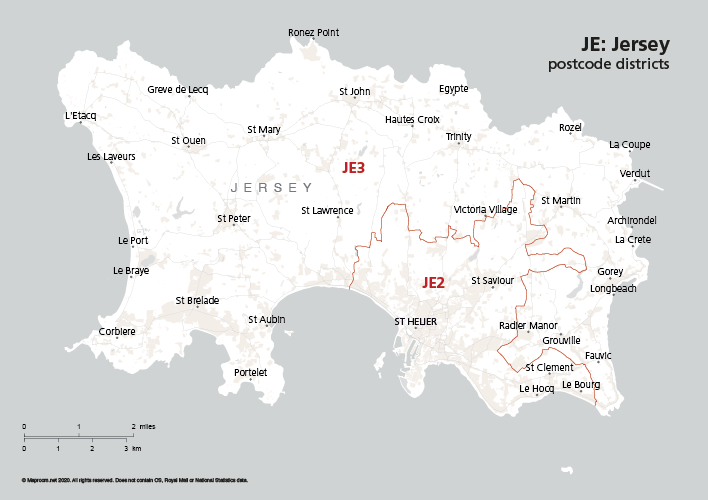
These editable maps of Jersey include a detailed version with urban and green areas, rivers, towns, villages, roads, ferry routes, and simplified versions highlighting parishes and the JE postcode districts.
The maps are ready to use and also great for graphic designers, with all layers including fonts and colours editable in Adobe Illustrator.
The Jersey maps are included in the Channel Islands bundle if you want all the Channel Islands at a discount. You can also purchase the JE postcode districts as a standalone product.
Specifications
Licensing terms
This editable map base is suitable for commercial and professional uses
See standard royalty free terms for downloadable maps
How to edit
Adobe Illustrator, CorelDRAW, PDF editors etc
See how to edit the downloadable maps
Recommended scaling
A5 to poster size
For more guidance see scaling recommendations
Vector map layers in Illustrator
