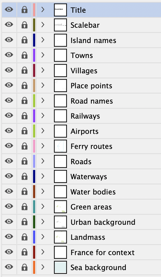
Maps of the Channel Islands
Downloadable royalty free vector artwork High-resolution PDFsSVGLayered Adobe Illustrator filePrice £40.00
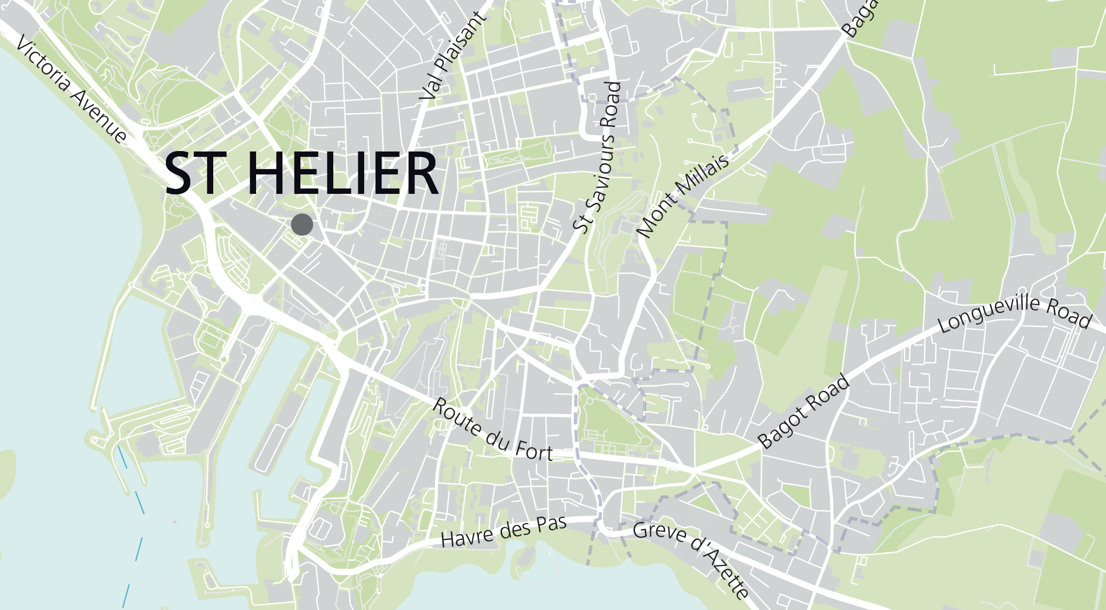
Zoom preview showing full area of coverage (low-resolution)
Pan to zoom / click or tap to switch
Examples of styling in the zoom previews are included as ready to use high-resolution PDF files in the download package. You can edit all colours, fonts and other elements using Adobe Illustrator or other SVG editing software.
This superb value bundle of maps for the Channel Islands includes 11 ready-to-use PDF versions plus raw Illustrator base files. The maps have superb detail for designers to manipulate colours, fonts and scaling in any way they wish and use commercially on royalty free terms.
Included in the package:
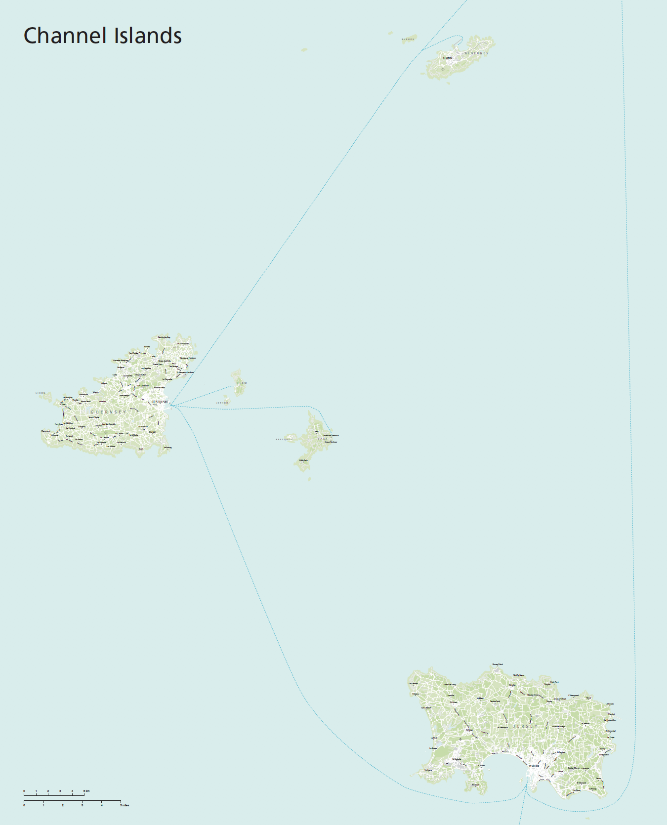
- Channel Islands simple locator map showing relationship to France and Britain
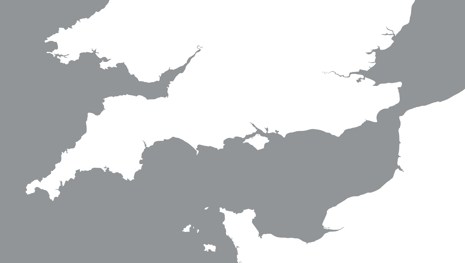
- Channel Islands base map with all layers, scalebar and natural geographic placing of islands within the Channel
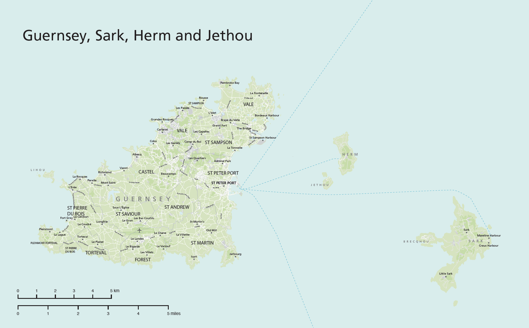
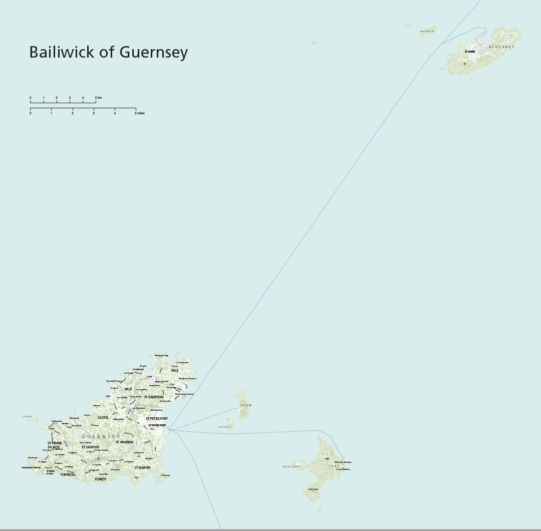
- Map of the Bailiwick of Guernsey including Alderney and smaller islands
- Map of Guernsey with nearby Sark, Herm and Jethou
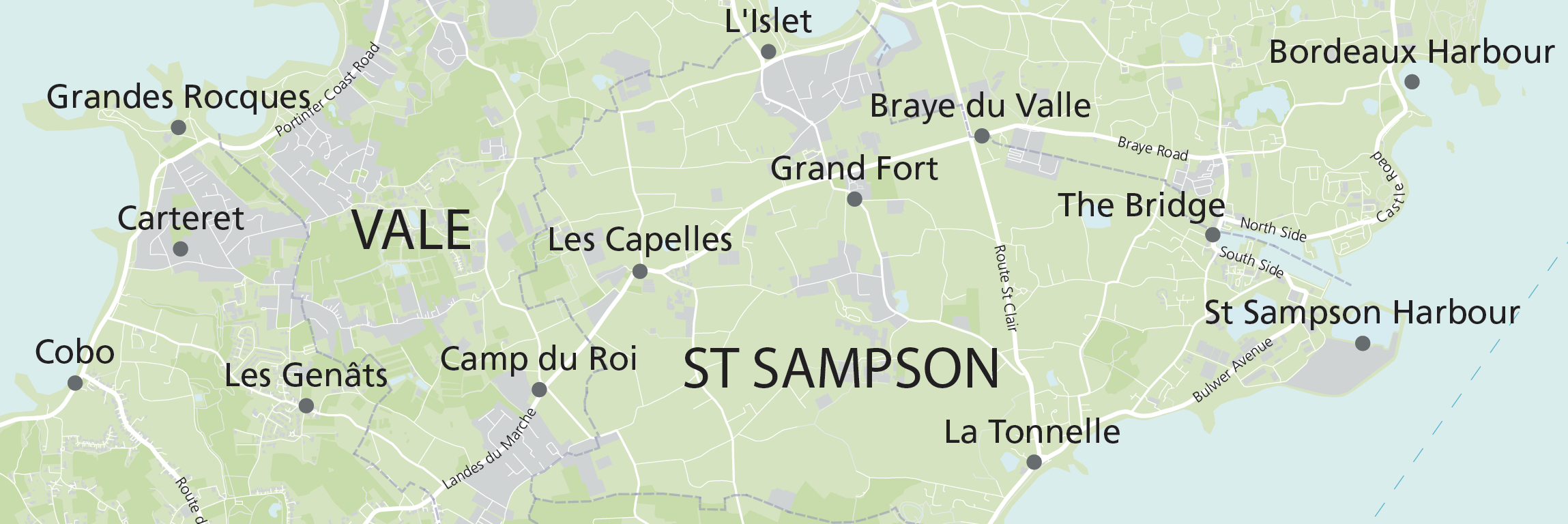
- Detailed map of Guernsey with urban and green areas, rivers, towns, villages, transport
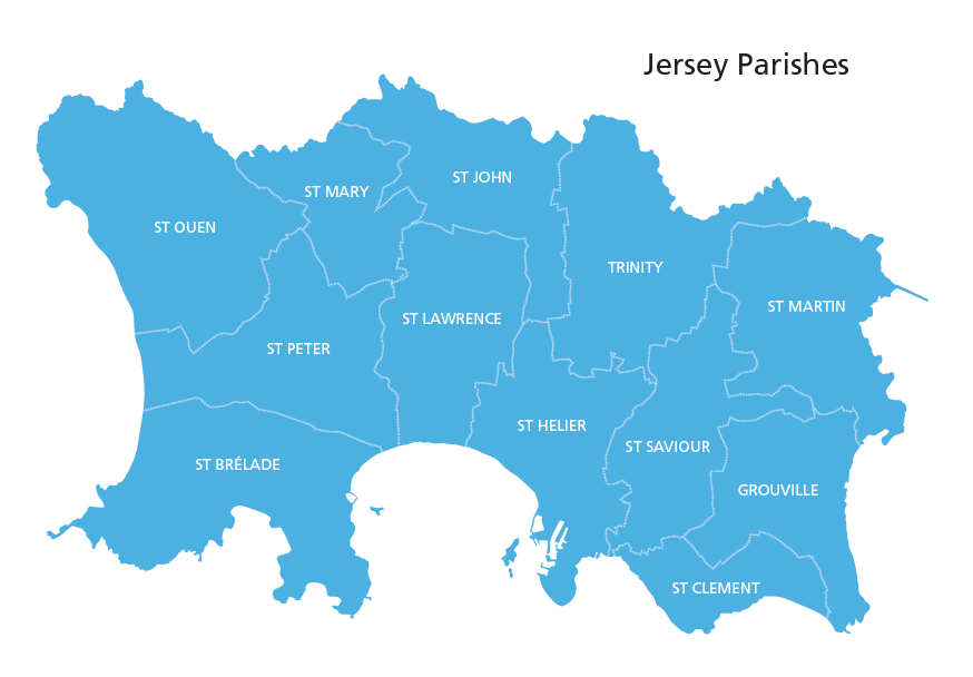
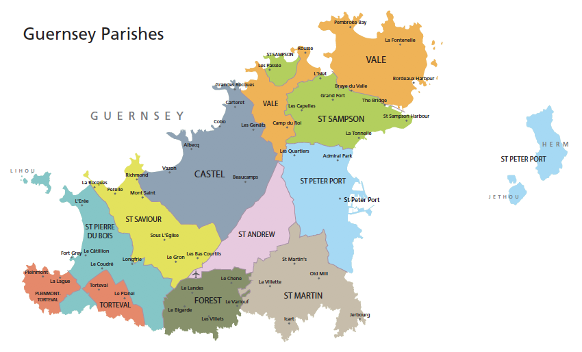
- Map of Guernsey parishes
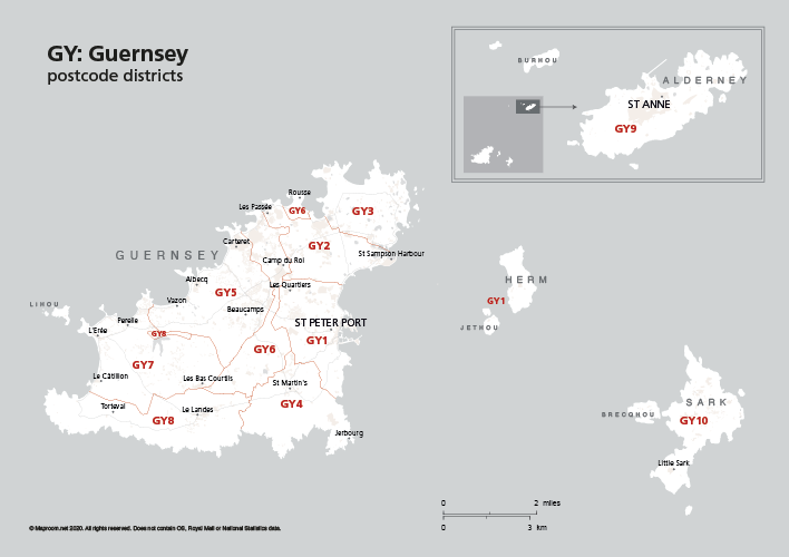
- GY postcode districts
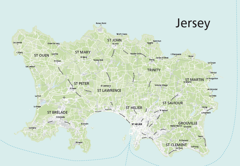
- Detailed map of Jersey with urban and green areas, rivers, towns, villages, transport
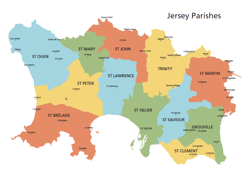
- Two versions of Jersey parishes
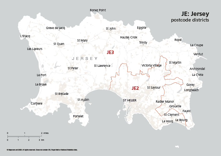
- JE postcode districts
All the PDFs are layered for editing in Illustrator, plus there is an SVG file of all the Channel Islands and raw Illustrator files of the Channel Islands, Guernsey and Jersey.
Specifications
Price £40.00
Product code: MR284
Licensing terms
This editable map base is suitable for commercial and professional uses
See standard royalty free terms for downloadable maps
How to edit
Adobe Illustrator, CorelDRAW, PDF editors etc
See how to edit the downloadable maps
Recommended scaling
Thumbnail to poster size or zoomed areas
For more guidance see scaling recommendations
Vector map layers in Illustrator