Maps that include the Channel Islands
Showing all 6 results
-
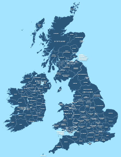
County maps of Britain and Ireland
£45.00Shows all the counties of Britain and Ireland and includes option layers for changing the colour fills and showing county boundaries.
PDFsSVGLayered AI file -
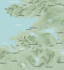
Britain and Ireland physical map with hillshading / relief layer (high-resolution)
£60.00Detailed map of Britain and Ireland with a hillshading / relief layer giving a beautiful sculpted backdrop for the landmass. Every part of the map is editable and suitable for high-resolution professional printing up to A0 poster size.
PDFsSVGLayered AI file -

Detailed outline map of Britain and Ireland (British Isles)
£20.00Superb coastline detail with literally hundreds of islands. Scale it from thumbnail up to poster size if you want.
PDFsSVGLayered AI file -
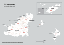
Map of GY postcode districts – Guernsey
£15.00The GY – Guernsey postcode districts scaled for A4+ printing
PDF -
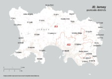
Map of JE postcode districts – Jersey
£15.00The JE – Jersey postcode districts scaled for A4+ printing
PDF -
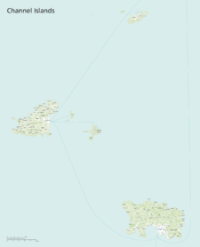
Maps of the Channel Islands
£40.00This superb value bundle of maps for the Channel Islands includes 11 ready-to-use PDF versions plus raw Illustrator base files
PDFsSVGLayered AI file