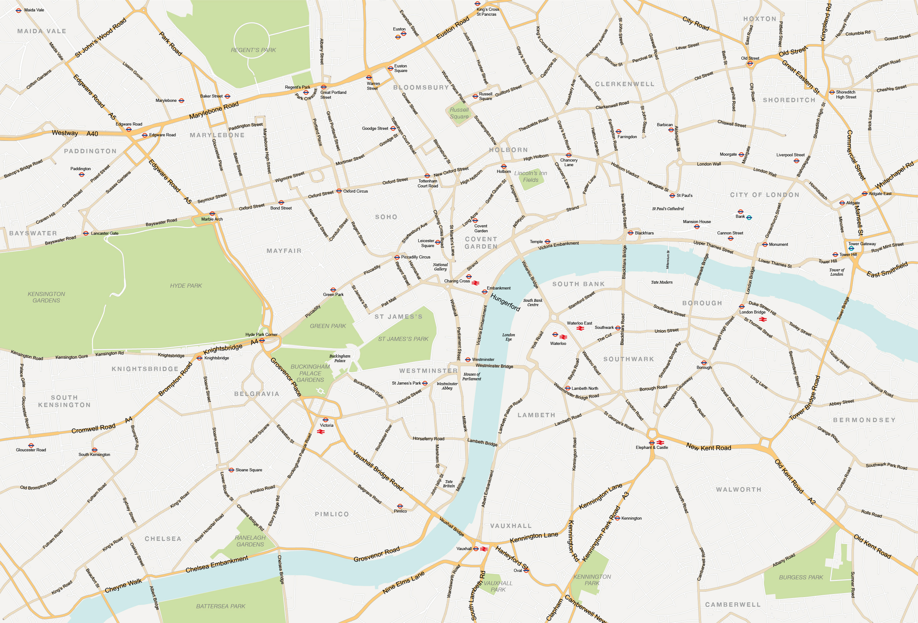
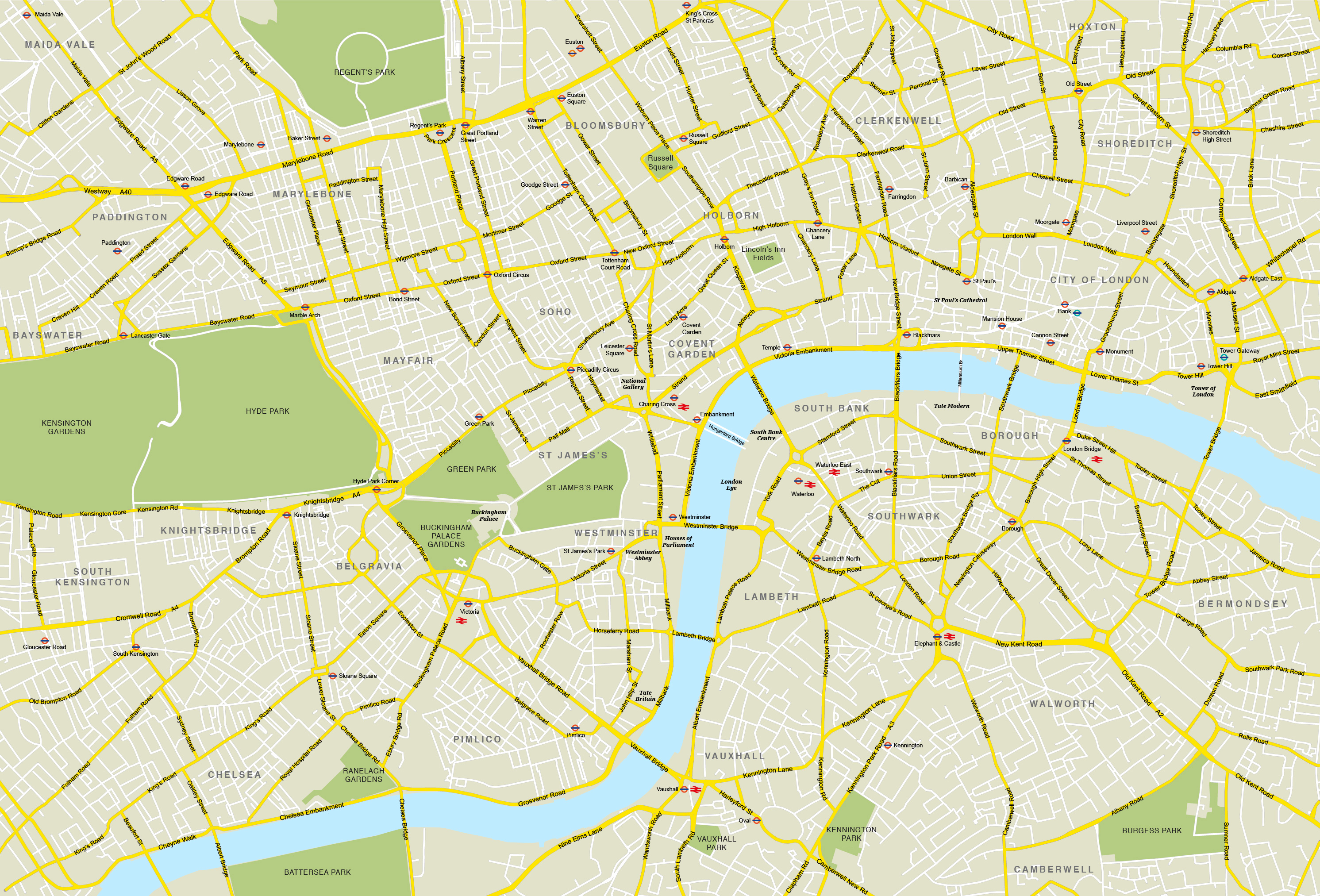
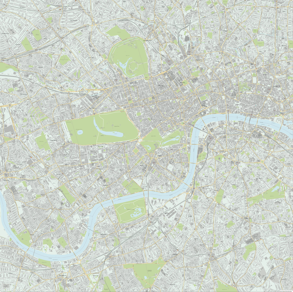
Central London – simple map with major features
Downloadable royalty free vector artwork High-resolution PDFsSVGLayered Adobe Illustrator filePrice £35.00
Zoom preview showing full area of coverage (low-resolution)
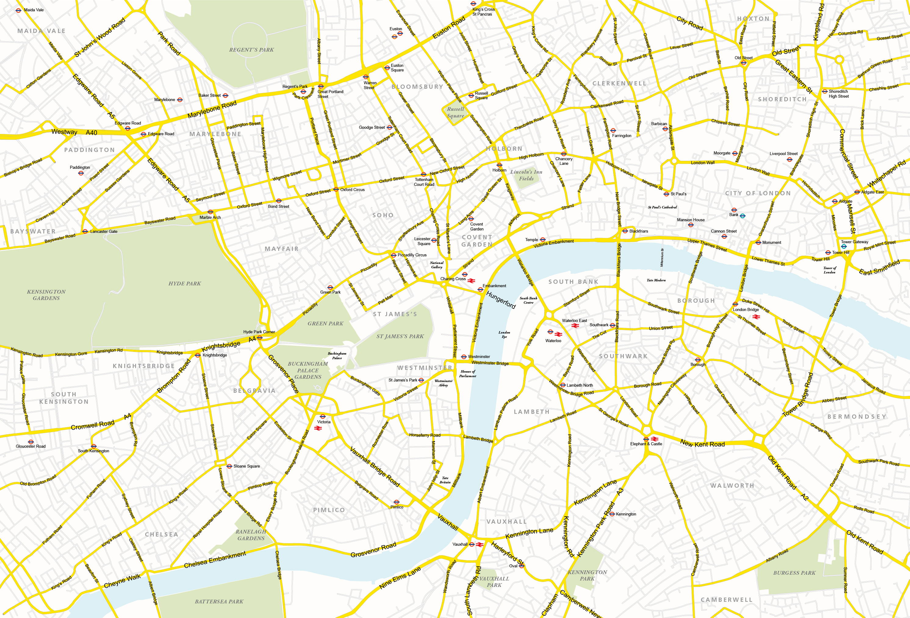
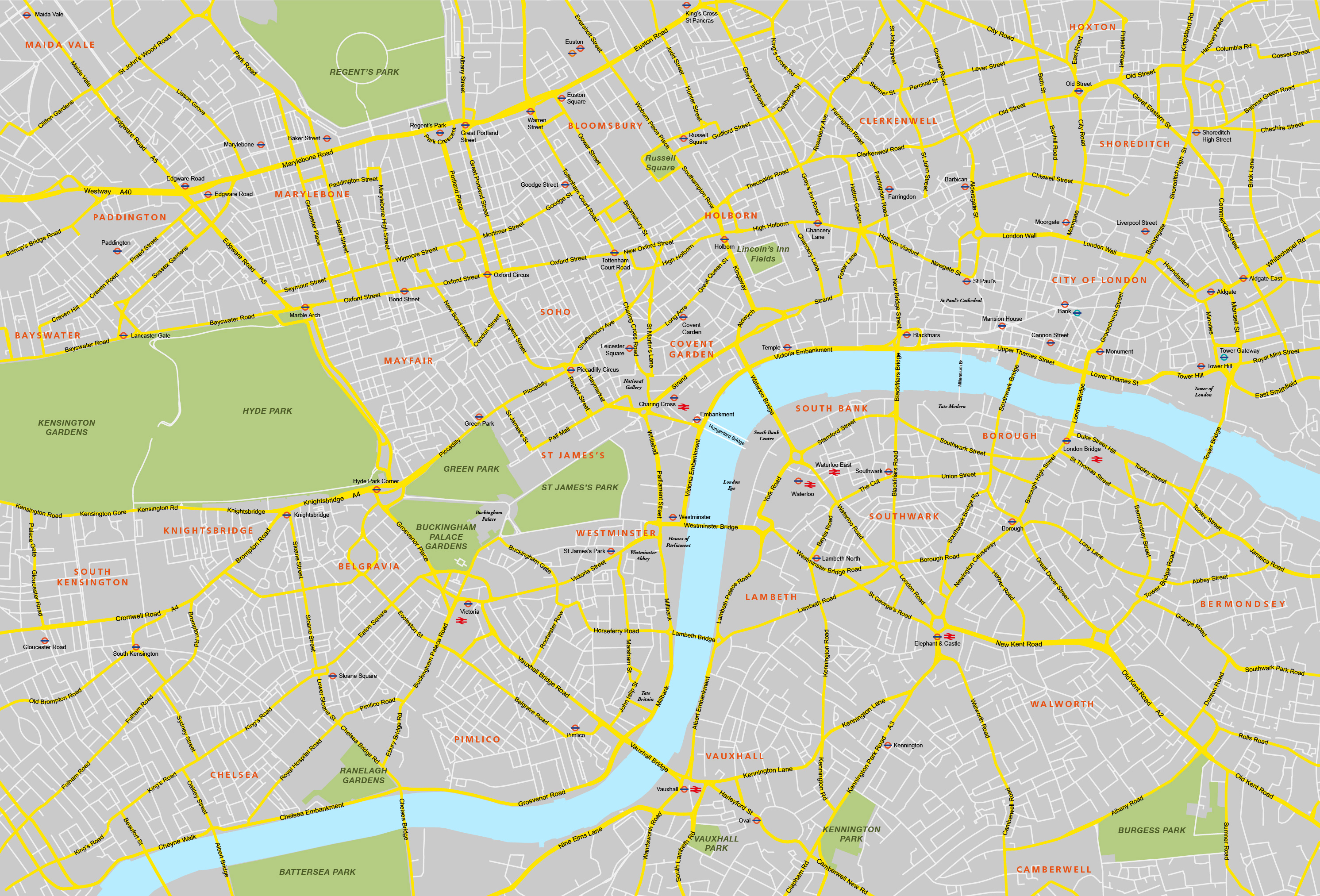
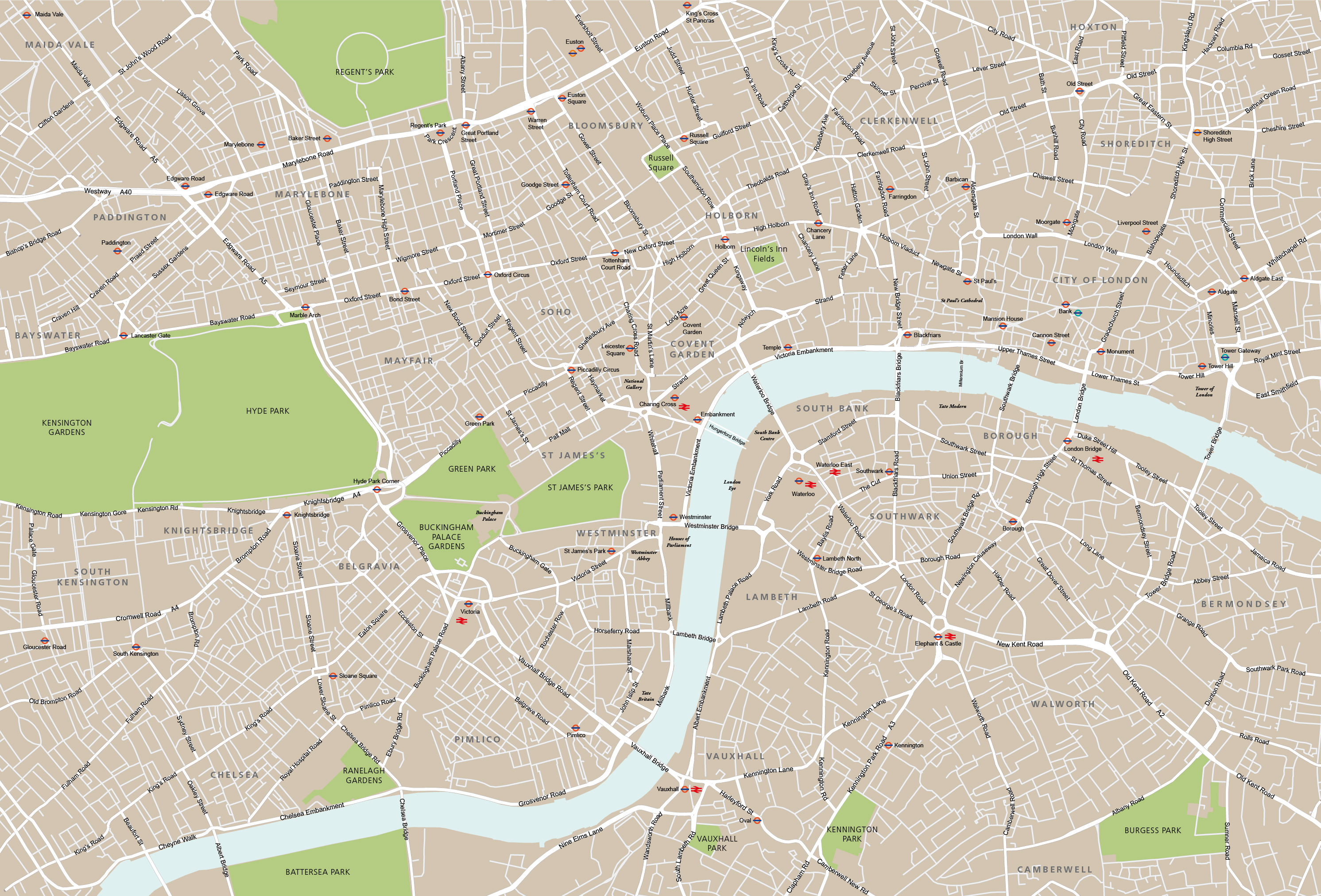
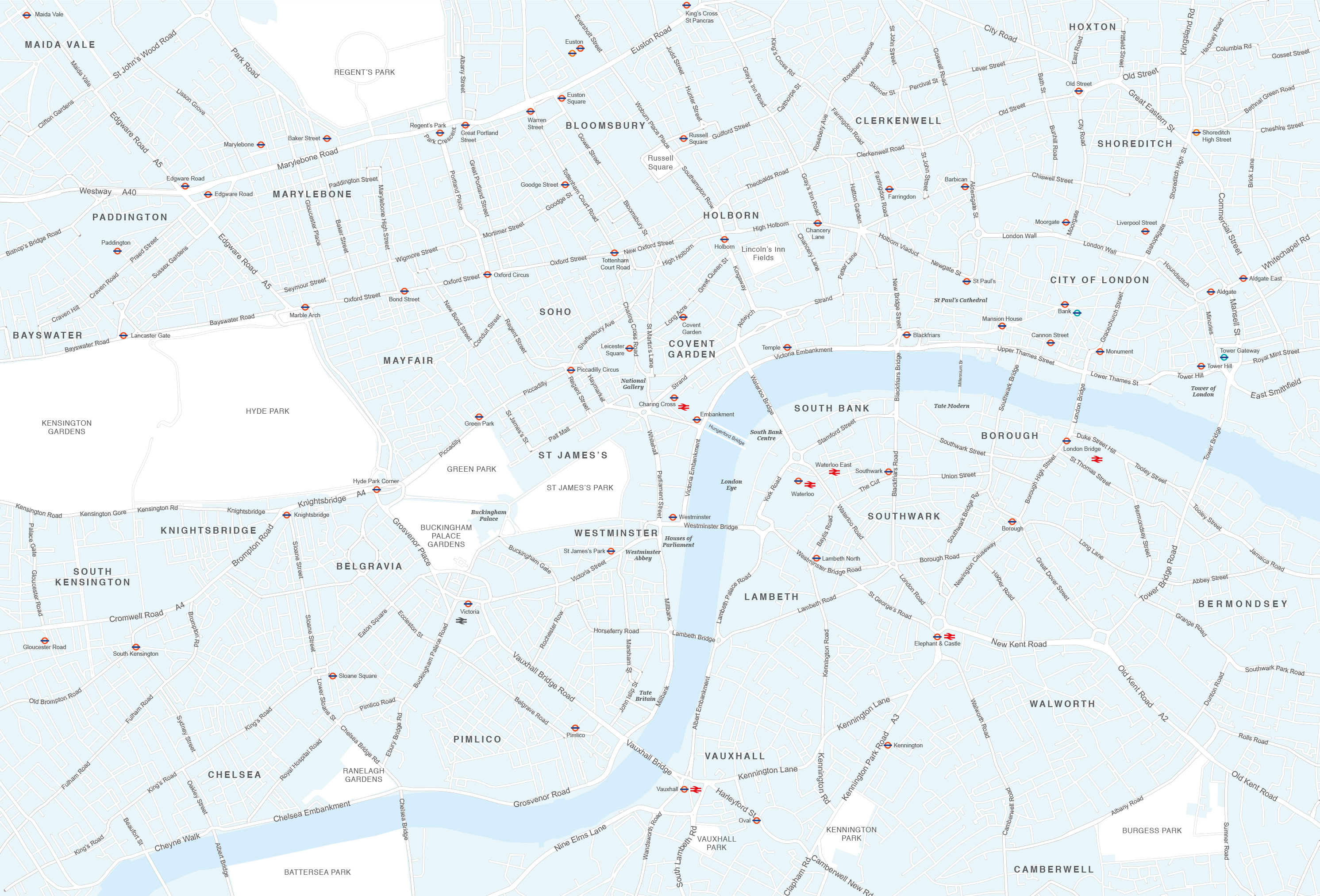
Pan to zoom / click or tap to switch
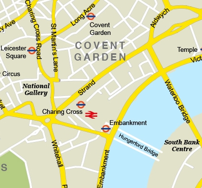
Examples of styling in the zoom previews are included as ready to use high-resolution PDF files in the download package. You can edit all colours, fonts and other elements using Adobe Illustrator or other SVG editing software.
This simple yet effective editable map of central London is available for commercial and other publishing uses on a royalty free basis without limitation on print run or page views. It covers the area from Paddington in the West to Aldgate in the East, and King’s Cross in the North to Battersea in the South. The Thames, parks, major roads, London Underground stations, DLR and National Rail stations are all plotted. Districts such as Westminster, Soho, Holborn and Knightsbridge are labelled. You can use this map base as it is or edit it and add your own features.
Included in the download are Illustrator and SVG files of the vector map base of London with live paths so you can edit the colours, layers, font, text, roads and other features, and add your own landmarks, routes etc if you want. There are also several ready-to-use JPEGs and PDFs in different colours.
The Illustrator file of our central London map uses Illustrator’s Type on a Path tool for road names, which means you have some flexibility in the font size and the text will curve with the shape of the roads. This is a rare feature on professional map bases, and allows for easier scaling of the map. It is possible to scale the text on this map so that it remains legible from A4 up to poster size. You can also use it smaller than A4 if you take off the secondary layers of names, which can be done with a couple of clicks on the Illustrator file.
Specifications
Licensing terms
This editable map base is suitable for commercial and professional uses
See standard royalty free terms for downloadable maps
How to edit
Adobe Illustrator, CorelDRAW, PDF editors etc
See how to edit the downloadable maps
Recommended scaling
A4 to poster size
For more guidance see scaling recommendations
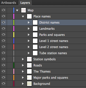
Vector map layers in Illustrator
You may also like…
-
Central London detailed street map
£75.00Our most detailed map of central London, including buildings and street names across a large area
PDFsSVGLayered AI file -
London map with roads, buildings, districts, boroughs, transport, landmarks
£100.00A superb general purpose editable map of London, with a wealth of detail including buildings, roads, railway lines, train stations, borough boundaries, rivers, canals, parks and landmarks
PDFsLayered AI file