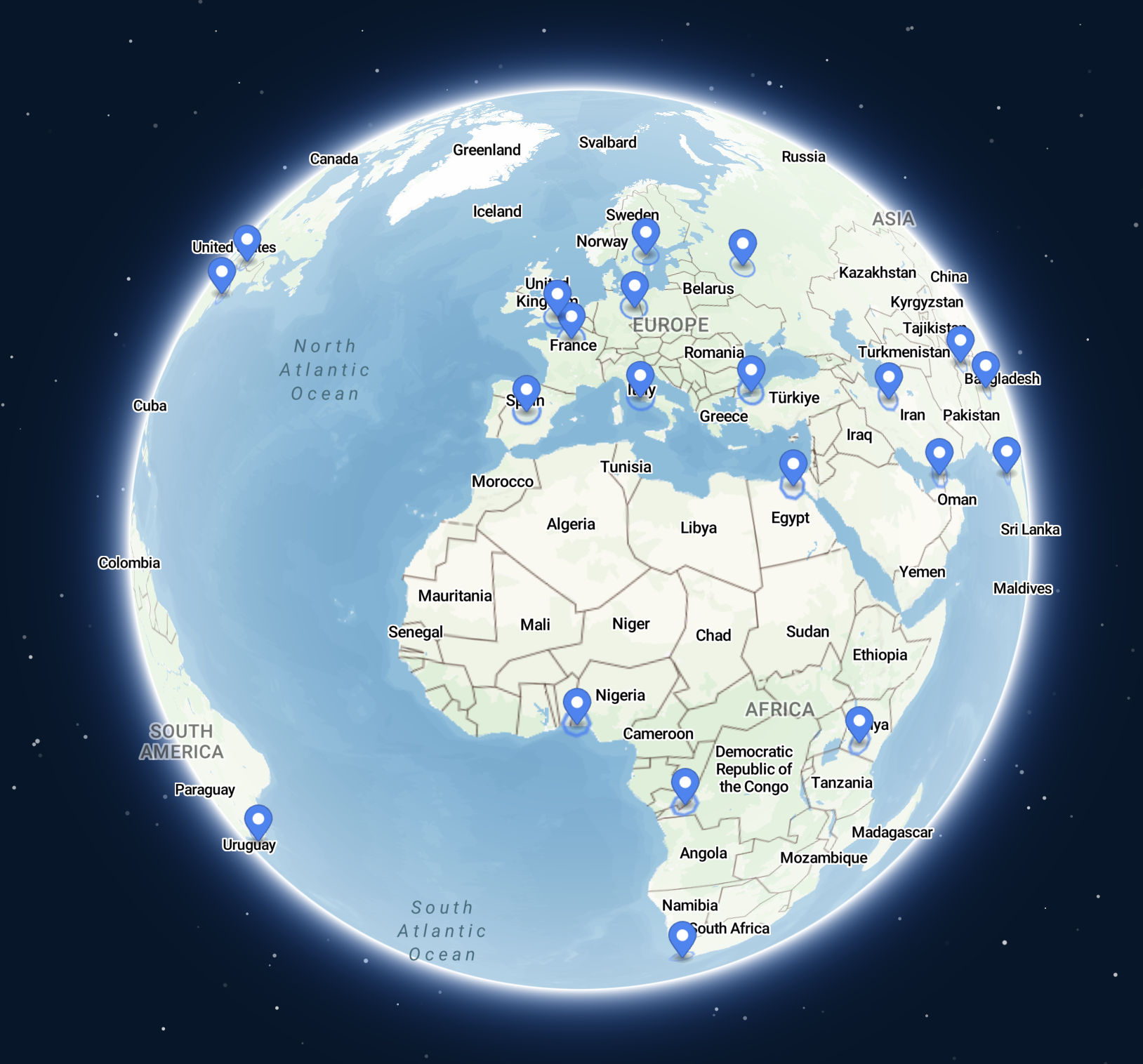
Maproom’s Dynamic Mapping Suite is a unique set of online maps and mapping tools built specially for businesses and organisations based in the UK and Ireland. The maps zoom deep down to street level and are especially useful for UK postcode identification and data mapping used in marketing and business intelligence. Create your own dynamic maps online.
Dynamic mapping tools
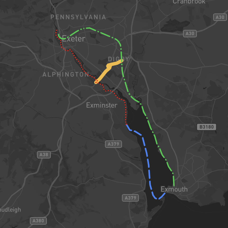
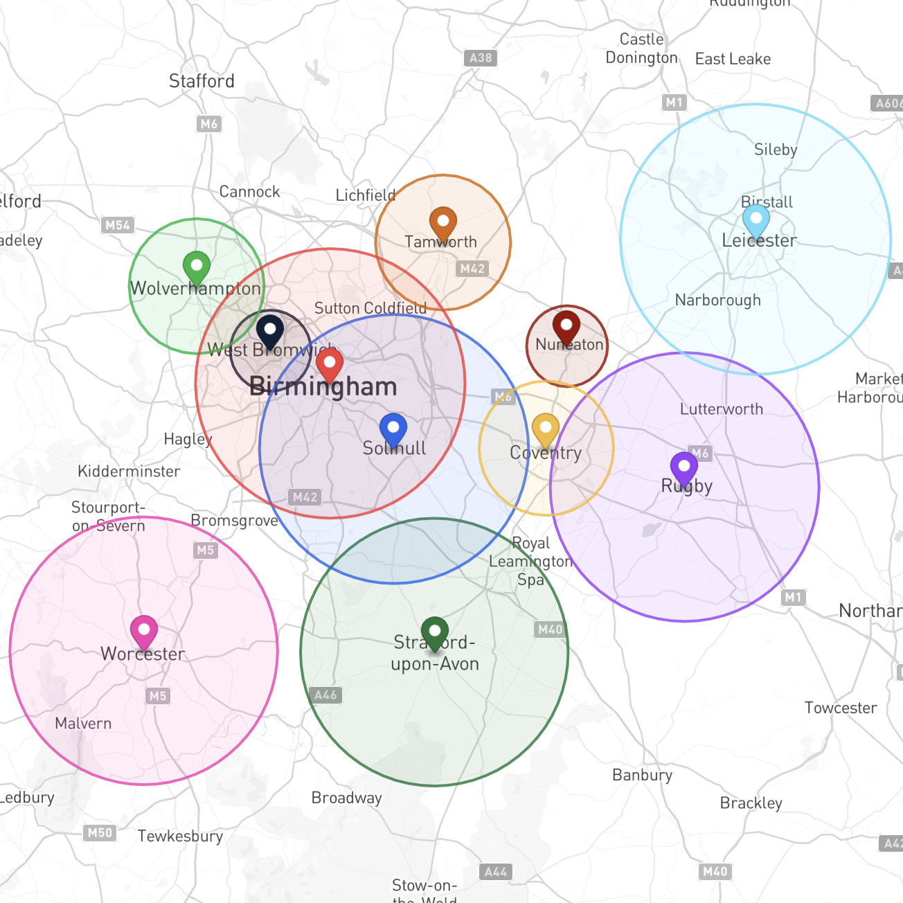
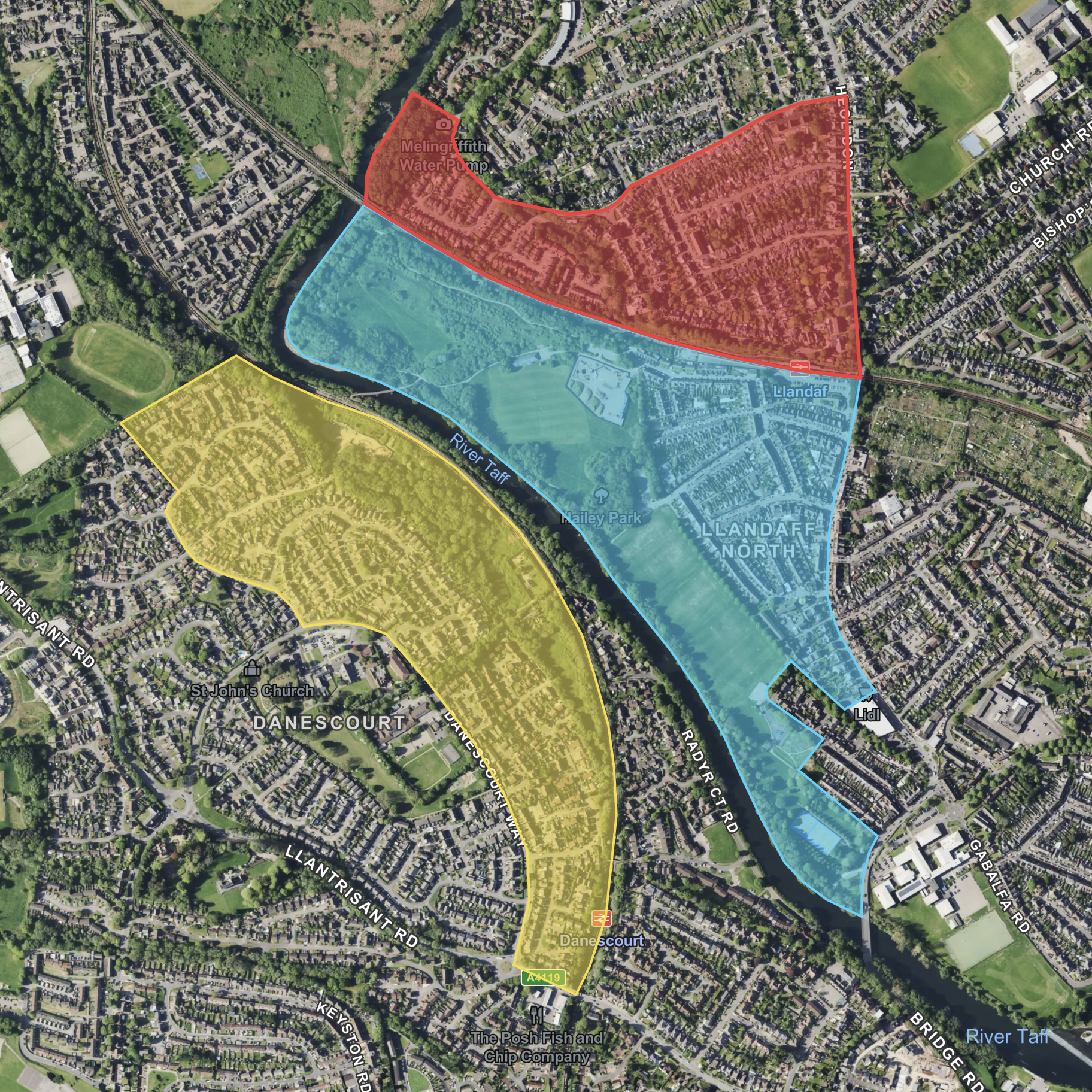
locations plotter – postcodes colouring and labelling – bulk postcodes geocoder – bulk Google address finder – radius plotter – 3d and flat base map options – UK administrative boundary maps – polygons and lines plotting – low emission zones – census and demographics data – dynamic population calculations – interactive filters – choropleth and heat mapping