Dynamic postcode mapping tools
Maproom has an online cloud software system called the Dynamic Mapping Suite. Inside this is a superb set of online tools for dynamically mapping postcodes, with demographic data baked in. You can visualise postcodes at all levels, from Areas, Districts and Sectors right down to Units at street level. These mapping tools are perfect for marketing professionals.

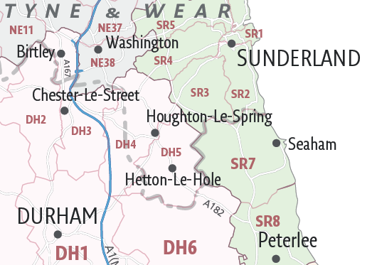
Downloadable postcode maps
We also sell a range of postcode maps as downloadable files (PDF, SVG, AI). These static artwork maps can be edited by graphic designers using Adobe Illustrator. The downloadable postcode maps have one-off pricing and a royalty free license for commercial printing.
All downloadable postcode maps are bundled with a 7-Day Full Pass for the Dynamic Mapping Suite
Please note, our postcode maps and mapping tools are all digital (not printed), and you access them immediately after purchase