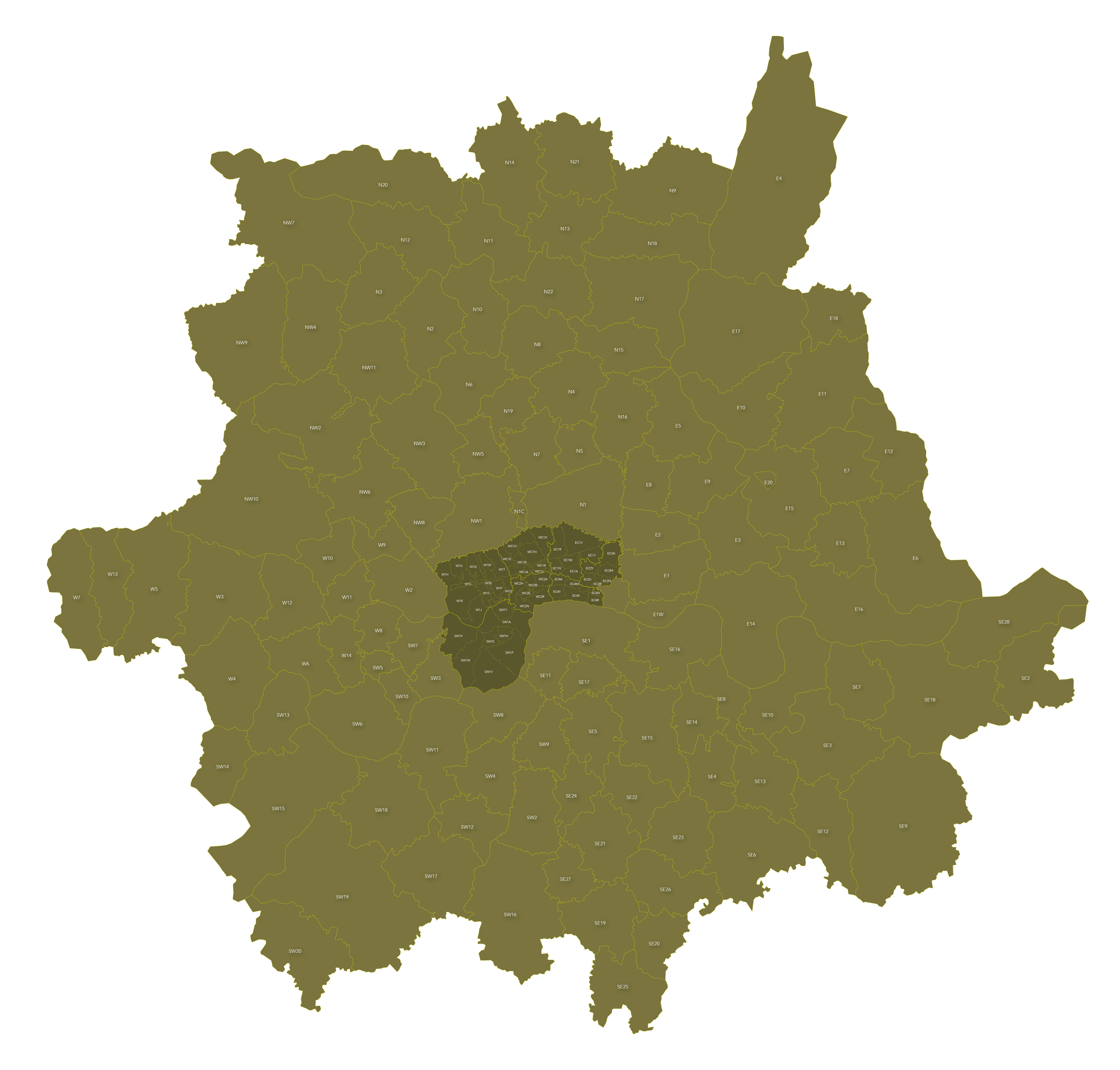
Map of London postcodes – interlocking shapes
Downloadable royalty free vector artwork High-resolution PDFsSVGLayered Adobe Illustrator file Bundled with 7-Day Pass for Dynamic Mapping Suite iPrice £15.00
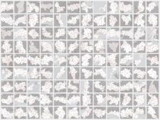
Zoom preview showing full area of coverage (low-resolution)


Pan to zoom / click or tap to switch
Examples of styling in the zoom previews are included as ready to use high-resolution PDF files in the download package. You can edit all colours, fonts and other elements using Adobe Illustrator or other SVG editing software.
Style this editable vector map of London postcodes how you want and use it for any commercial purposes.
All the London postcode areas are included with accurate, interlocking vector shapes so you can highlight them individually or as a grouped layer. You can scale the text and crop according to your needs while the image remains sharp.
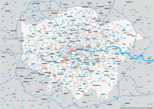
We have included paths for the Central London postcode sub-districts within the dense areas of EC1, EC2, EC3, EC4, WC1, WC2, W1 and SW1. These are blown up on a separate map (see the second styling example). The sub-districts are also on the main map but set to hidden in the map’s opening state because they are only legible on the full map at poster size. Turn them on with one click if you want to show them on the main map (zoom into the central area on the third styling example to see a demo).
The Thames forms the boundary for many postcode areas. We have included a separate layer for the Thames so that you can easily turn it on or off according to whether you feel it is important to show the river or not.
Need more detail?
We also sell a map of Greater London postcodes plus boroughs and major roads, which has more detail and context than this simpler map base, plus maps of E postcode districts, EC postcode districts, SE postcode districts, SW postcode districts, W postcode districts, WC postcode districts.
A free limited pass for the Dynamic Mapping Suite is bundled with this map.
Specifications
Licensing terms
This editable map base is suitable for commercial and professional uses
See standard royalty free terms for downloadable maps
How to edit
Adobe Illustrator, CorelDRAW, PDF editors etc
See how to edit the downloadable maps
Recommended scaling
A5 to poster size
For more guidance see scaling recommendations
Access to Dynamic Mapping Suite
A 7-Day Full Pass for the Dynamic Mapping Suite is bundled with this map. The Dynamic Mapping Suite is a separate system that includes a set of online mapping tools geared to visualising data for UK administrative areas.
Vector map layers in Illustrator
You may also like…
-

Supersize map of Greater London postcode districts with full road network
£75.00Editable postcodes artwork scaled at 4.3 x 3.8 metres in its opening state. The full road network of Greater London is the backdrop, with major road names legible at large-scale printing.
PDFsLayered AI file -
UK postcode maps for easy A4 printing – FULL SET with 126 maps
£125.00Full set of the “A” format postcode district maps – 126 maps in total at a huge discount.
PDFs -
Map of Greater London postcode districts plus boroughs and major roads
£30.00All the postcode districts in Greater London, shown in context with the London boroughs, post towns, major roads and surrounding counties. Scaled for A3 and above.
PDFsSVGLayered AI file -

Best maps of central London postcode districts – W1, WC, EC – including street names
£25.00See the road names and other street level details of London’s densely packed W1, WC and EC postcode districts overlaid with clear labels, district boundaries and underlying polygons for colour editing.
PDFSVGLayered AI file